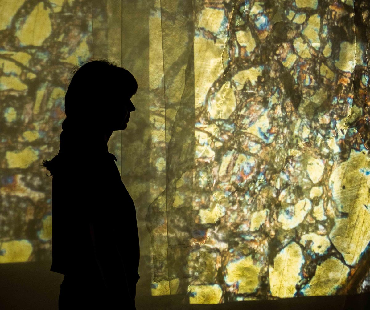
Nelson Batholith, Carol Wallace, installation view with artist present; photo: David Gluns
Carol
Wallace
Nelson Batholith: Photomicrographs of local bedrock are projected through three layers of silk organza creating a three-dimensional geologic map. Each layer of stitched and ink painted organza references the land as illustrated on a map, such as water courses, topographic lines, and the rock distribution of the Nelson Batholith. The imagery projected over the cartographic veils invites the viewer to see what is hidden within a rock; a beautiful diversity of colour, pattern and form that remains unchanged regardless of careless human interactions.
interview w/ curators
installation video
The Nelson Batholith is the granitic rock that forms the core of the Kokanee, Nelson and Bonnington Ranges of the Selkirk Mountains. It is the rock that has been used to construct foundations, buildings, and walls in this area over the last hundred and fifty years.
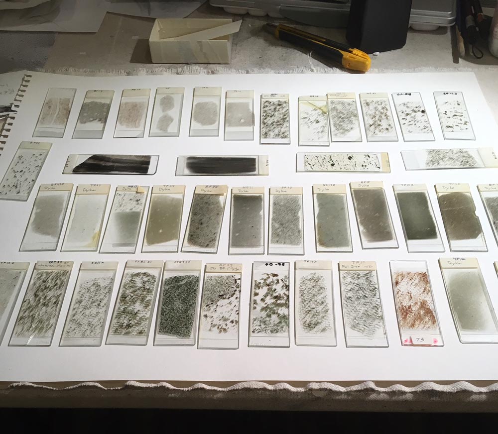
Photomicrographs were taken of thin sections (0.03 mm thick rock sample mounted on a glass plate) as viewed under a petrographic microscope. At the microscopic scale, one sees an interlocking mosaic of crystals, born under extreme pressure and temperature at 10–15 km deep, 170 million years ago. It is a glimpse of a melted continent and ocean floor; a result of two converging tectonic plates, one subsiding beneath the other. This dynamic geologic setting is the catalysing force behind mountain building in the Canadian Cordillera and continues today along the coast of British Columbia.
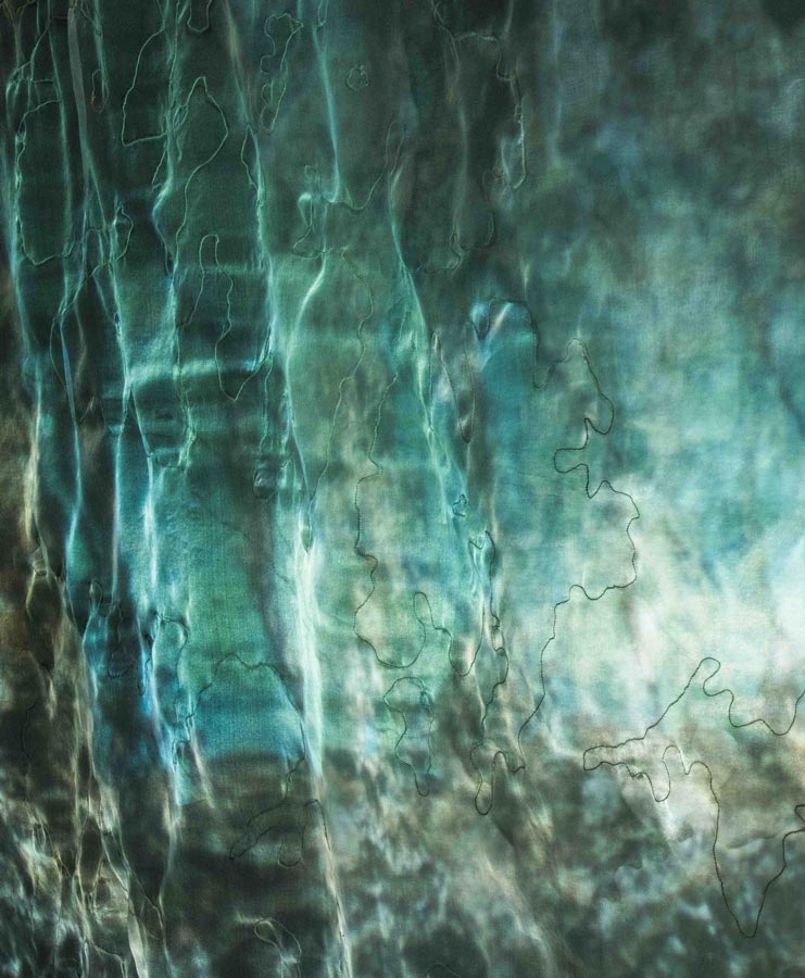
Nelson Batholith, detail ink and thread on silk organza and video projection of photomicrographs, 2020; photo: David Gluns
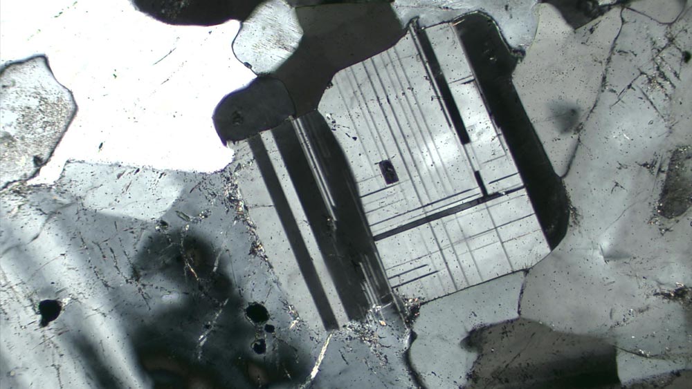
Nelson Batholith, photomicrograph research collected by Carol Wallace; courtesy of Dr. Derek Thorkelson (photomicrograph photographer), Department of Earth Sciences, Simon Fraser University; and Dr J.H. Sevigny
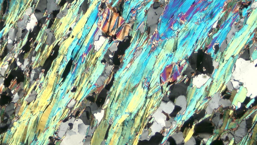
Nelson Batholith, photomicrograph research collected by Carol Wallace; courtesy of Dr. Derek Thorkelson (photomicrograph photographer), Department of Earth Sciences, Simon Fraser University; and Dr J.H. Sevigny
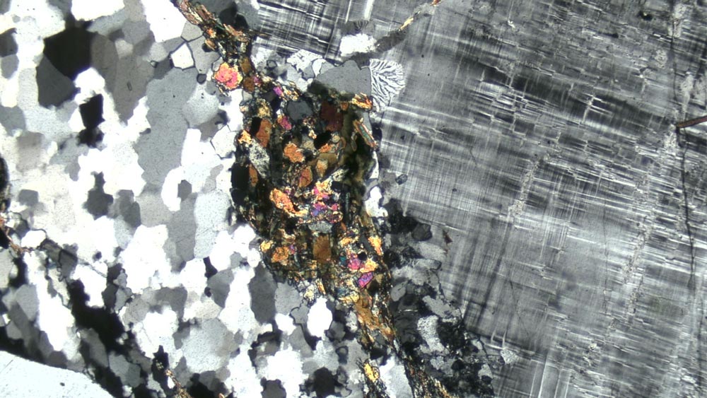
Nelson Batholith, photomicrograph research collected by Carol Wallace; courtesy of Dr. Derek Thorkelson (photomicrograph photographer), Department of Earth Sciences, Simon Fraser University; and Dr J.H. Sevigny

Nelson Batholith, photomicrograph research collected by Carol Wallace; courtesy of Dr. Derek Thorkelson (photomicrograph photographer), Department of Earth Sciences, Simon Fraser University; and Dr J.H. Sevigny
Carol Wallace’s current work explores ideas and imagery informed by her former work as a geologist. Her art training started as a summer field geology student in 1988. Field notes were filled with drawn landscapes from ridgetops in the mountains of Northern BC, the Yukon and Ellesmere Island in the Canadian Arctic. In the office, back when maps were made by hand, Carol continued her drawing training creating and finalizing geologic maps, later published by various government agencies. After earning her geology degree at the University of Calgary, Carol settled in Nelson, BC starting a consulting company providing services in geomorphology in the Columbia Basin. Drawing and map-making continued in this work, until 2014, when she decided it was time to work full time in her studio as a visual artist.
Kootenay Gallery of Art
120 Heritage Way
Castlegar, BC V1N 4M5
kootenaygallery[dot]telus.net
250-365-3337
Oxygen Art Centre
#3-320 Vernon St. (alley entrance)
Nelson, B.C. V1L4E4
info[dot]oxygenartcentre.org
250-352-6322
We acknowledge with gratitude that our art spaces are located on the unceded traditional territory of the sn̓ʕay̓ckstx (Sinixt Arrow Lakes), Sylix (Okanagan Nation Alliance) and Ktunaxa (specifically Yaqan Nukij Lower Kootenay Band peoples). We recognize the enduring presence of First Nations people on these lands and that they are home to Métis and many diverse Indigenous persons.
